The Will Matheson Web HQ - Photographs - Places and Buildings
Return to the main photos page.
Places and Buildings - Pictures involving... absolutely nothing but roads, places, and buildings.
Me Pictures - CPA / Graduation Pictures - Family Pictures - Sand Art - Places and Buildings - Pictures With Many Other People In Them
For a picture of the CPA buliding, visit the CPA Graphics Page and for lots and lots of pictures in and around SMU, head for the SMU Graphics Page.
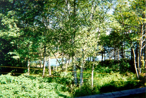
To start us off, here's a picture of our little corner of Sandy Lake, taken from our deck. The two yellow wires you see are our clothesline. I left my glasses on the rail after taking this, and went the rest of the day without my glasses. (See if you can find the glasses.)
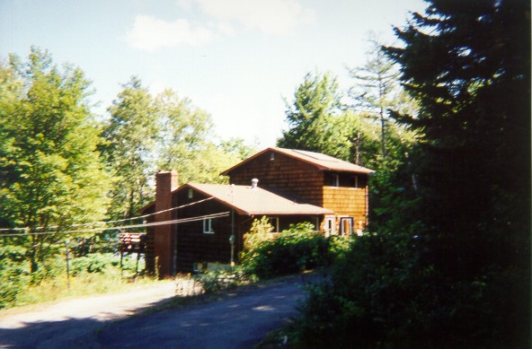
Then I went back in and around to take pictures of the house itself. Here's a fuzzy picture of our house from the right side. View Sharper
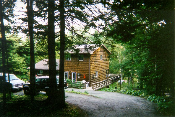
And this is our house from the left side. I like this picture better.
Now I am embarking upon a late-morning walk to Mill Cove to catch the 80, which begins right where I was standing after taking that last picture.
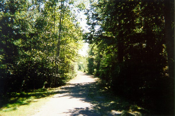
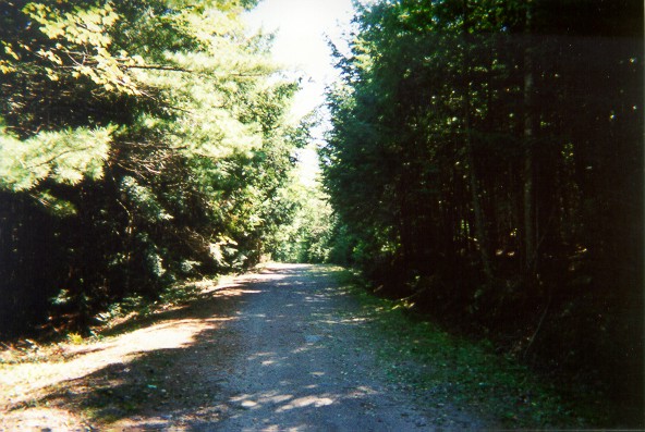
This picture comes from much further up the lane. You can see the clearing before the road from here.
I like this picture. It reminds me of those gravel streets in Truro.
Now we're coming past my Step Grand Aunt Freida's house, which is on the left.
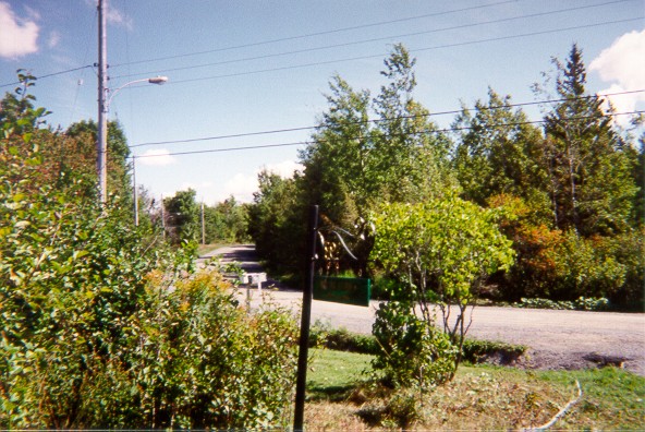
And now we're off of Giles Drive and onto the Hammonds Plains Road (Collector Highway 213). At the corner of Symonds Road, I snapped this picture of Patio Perfect. These were the cool guys that hired me for two days. Whoo-hooo! =)
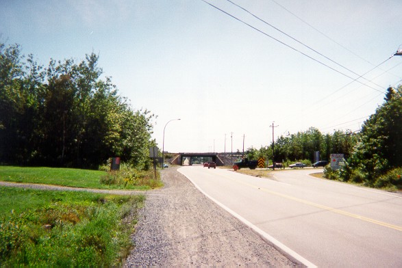
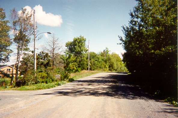
This is a few minutes later, when I've made my way down to the interchange. You can see here a large part of Exit 3 on the Provincial Arterial Highway 102 (Bicentennial Drive). I keep going straight to get down to Mill Cove. Walking on the highway never solves any problems. And it takes longer to get where you're going, too.
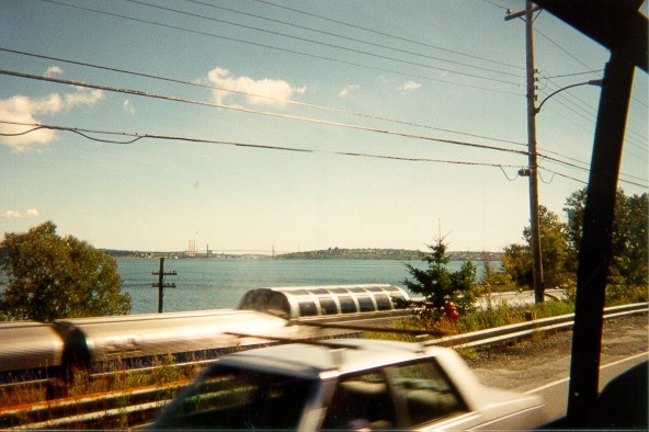
This is many minutes later, when I'm seated on the number 80 bus travelling southbound on the Bedford Highway (Trunk Highway 2). Eventually we'll reach downtown Halifax. Near Prince's Lodge, I snapped a picture of the train going by. This particular train is run by VIA, a passenger outfit in this country. You can see the Observation Car right there in the middle of everything. Off in the distance, you can see a tiny bit of Dartmouth on the left, and the hills which Halifax is built around on the right. The thin line is the A. Murray MacKay Bridge. The Bedford Basin is basically all the water you can see before the bridge. Further on, the Narrows begin; they lead to Halifax Harbor, which in turn goes into the Atlantic Ocean. And that's about all I can say about this picture.
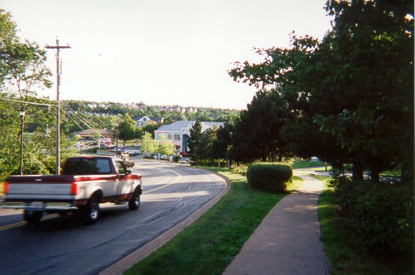
Some other evening, I took this picture after getting off the 80 on the Bedford Highway. We're looking downhill, southbound, towards the Mill Cove area (which is out of sight to the left, along with the 2/213 intersection). All the smaller buildings off in the background are from the Paper Mill subdivision. The large buildings, from left to right: Village Centre, Pier's Landing, Hammond Centre.
Me Pictures - CPA / Graduation Pictures - Family Pictures - Sand Art - Places and Buildings - Pictures With Many Other People In Them
Return to the main photos page.